Columbia County Web Maps & Property Search Online Disclaimer
Disclaimer: These sites will let you search for and examine property in Columbia County, Oregon. The information used, is derived from the Columbia County Assessor's Tax Roll and is for informational purposes only. Columbia County does not guarantee the accuracy of information on this website. These are not the official records of the Assessor's Office, and this information is subject to change without notice.
Columbia County assumes no responsibility with regard to the selection, performance, or use of information on this website. Any use of, or actions taken based upon, any of the information contained on or accessed through this website is done entirely at your own risk. By proceeding to Property Search Online or the Columbia County Web Maps, you agree that you understand this disclaimer.
 Columbia County Web Maps
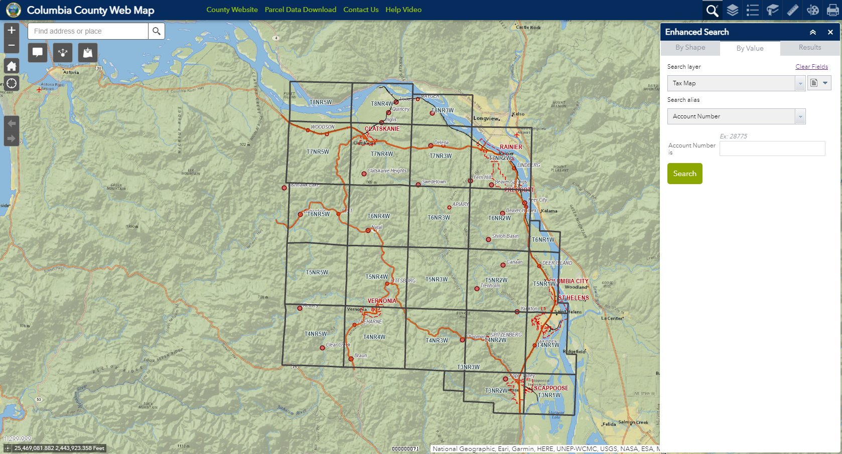
This application allows you to search for property in several different ways, and includes the base cadastral map as well as several GIS layers. The information accessed through the Columbia County Map Tool is for informational purposes only. It is non-certified assessment data, and may not be suitable for legal, engineering, or surveying purposes. More detailed assessment data is available via the Property Search Online tool.
By clicking here, you have read and agree to the above disclaimer and wish to proceed to Columbia County Web Map
Property Search Online
This application allows you to search for property in several different ways, and gives you detailed assessment and tax data, including updated tax payoff amounts. Ownership changes are updated; however, property that is segregated or combined for the next tax year will not be reflected in these records until the next tax roll is certified and added to the web query.
Note: When searching by situs address, it is best to enter only the house number to locate the record you are searching for.
By clicking here, you have read and agree to the above disclaimer and wish to proceed to Property Search Online